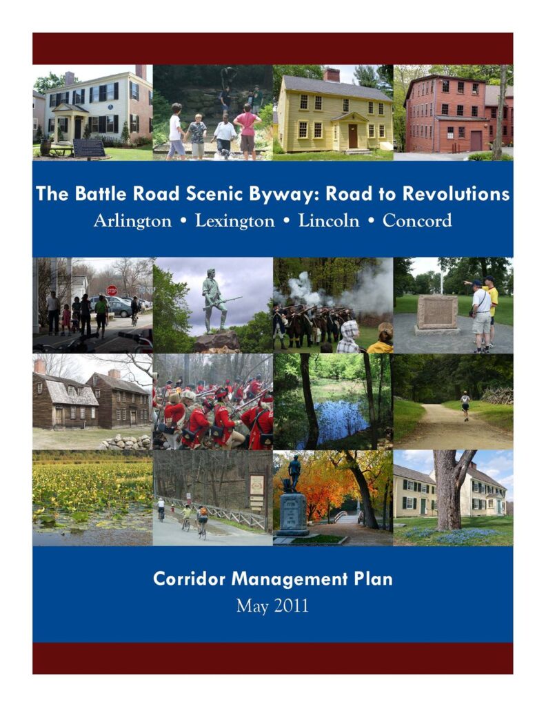
The Battle Road Scenic Byway is a corridor designated by the Commonwealth of Massachusetts that follows the approximate path of the British regulars during the battles that marked the start of the American Revolution on April 19, 1775 – where the “shot heard round the world” was fired. The byway runs roughly parallel to Route 2 along approximately fifteen miles of roads in the communities of Arlington, Lexington, Lincoln, and Concord, including part of the Minute Man National Historical Park. Not only is this route famous for its role in the American Revolution; The Battle Road Scenic Byway is a Road to Revolutions because of literary, environmental, and technological revolutions that have occurred along the Byway throughout its history through today.
Planning, management, preservation, and promotion of the Byway is a joint effort by the Towns of Arlington, Lexington, Lincoln, and Concord, the Minute Man National Historical Park, MAPC, and the Massachusetts Executive Office of Transportation. In 2009-2011, I worked with these partners to develop a Corridor Management Plan (CMP) for the byway with funding from the Federal Highway Administration’s National Scenic Byways Program and a match from the Massachusetts Highway Department.
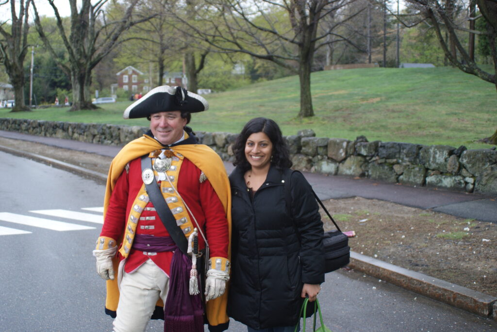
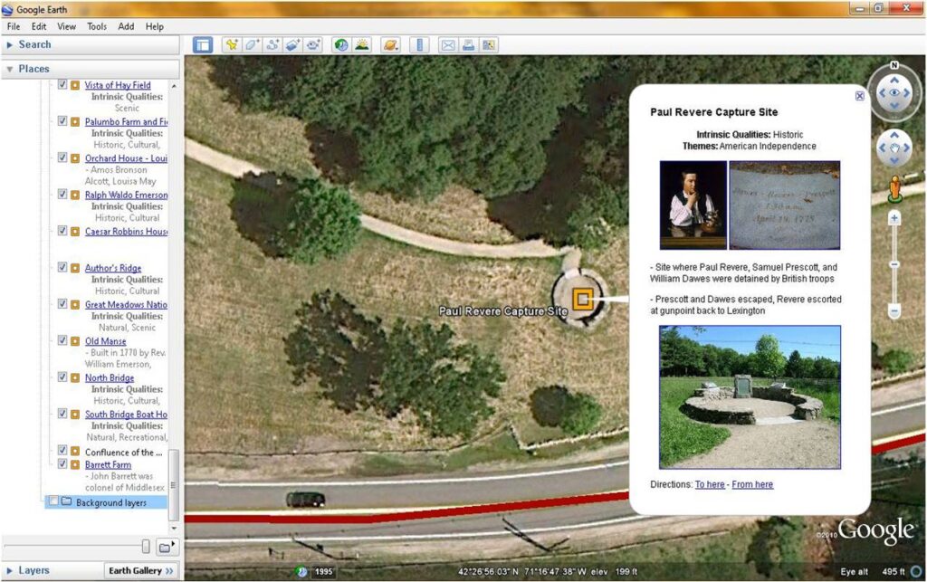
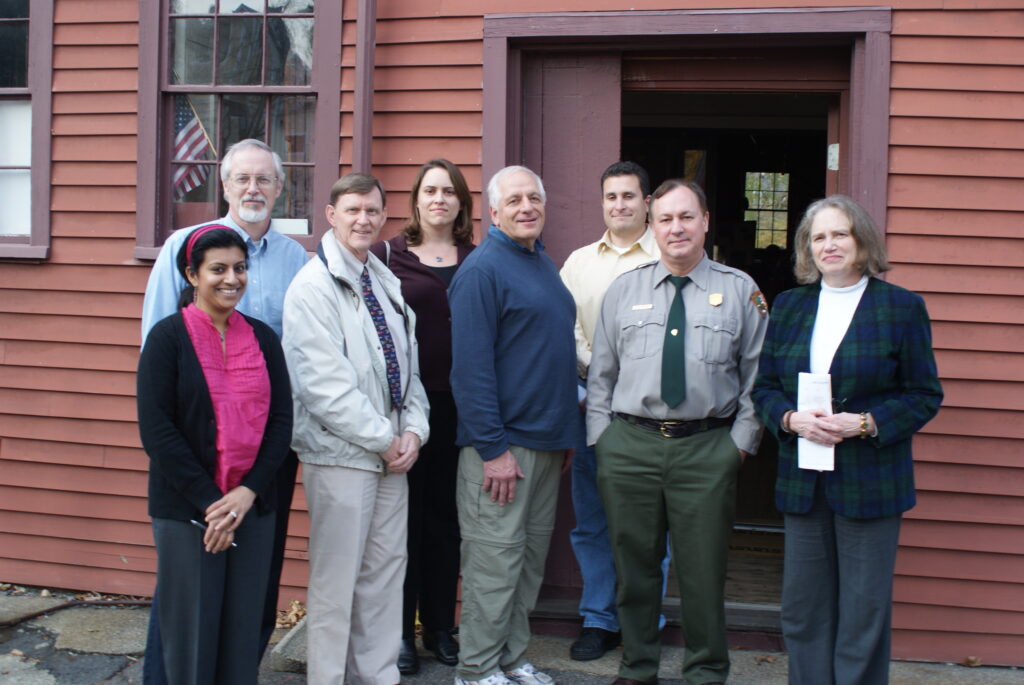
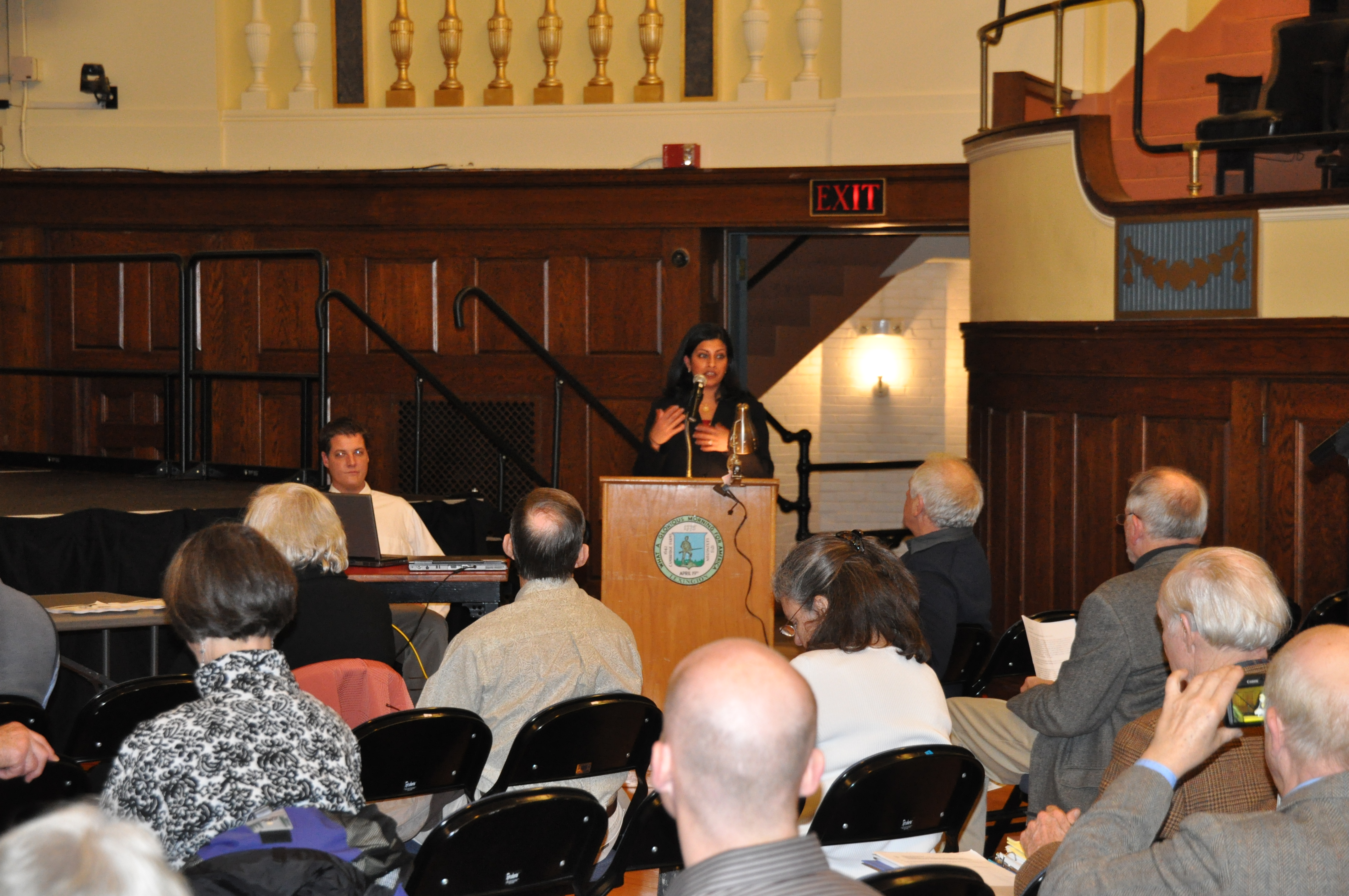
I was the project manager from March 2010 through project completion in June 2011. I coordinated project tasks with land use planning, transportation, GIS, and communications staff at MAPC, convened Working Group meetings with project partners, oversaw several public forums, oversaw the Tourism Subcomittee and coordinated with MAPC staff for the Land Use and Transportation Subcommittees, managed the project website, edited CMP chapters and maps, and wrote much of the CMP, chose images for it, and designed the document. The planning process included substantial civic engagement in the form of public forums. The forums we held were engaging and had interactive elements, such as open house with maps and images to mark up, keypad polling, and Google Earth virtual tours. My attention to quality writing, use of images, and attractive graphic design set a new standard for MAPC’s publications.
In addition to completion of the Corridor Management Plan, I testified with project representatives to the Massachusett Legislature’s Joint Committee on Tourism, Arts and Cultural Development to extend the designated Byway to include additional sections in Arlington and Concord. The Byway extension was enacted and signed by Governor Patrick in Massachusetts Session Law Chapter 12 of the Acts of 2012. Additionally, I proposed, organized, and led a mobile workshop about the Byway at the 2011 American Planning Association National Planning Conference in Boston. I worked with MAPC’s Government Affairs staff and other Massachusetts Regional Planning Agencies to advocate for the National Scenic Byways Program to the US House and US Senate during Federal Transportation reauthorization debates and applied for a National Scenic Byways Program grant. Also, I attended the National Scenic Byways Conference in August 2011 – I wrote about a workshop I attended there, originally published on the MAPC Planning 101 blog and re-published for archival purposes on this website.